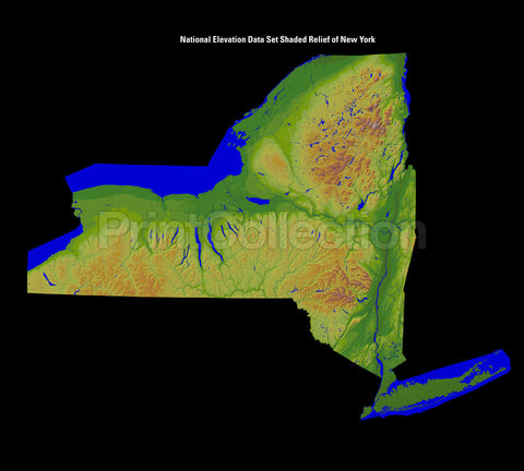
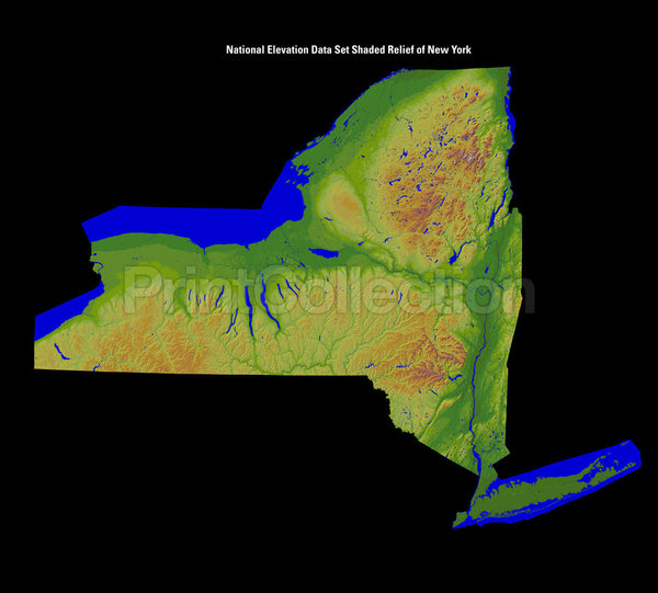
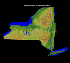
New York State. Shaded Relief Image
New York State. Shaded Relief Images have been created from the National Elevation Dataset by the USGS, United States Geological Survey.
The National Elevation Dataset (NED) is the primary elevation data product of the USGS. The NED is a seamless dataset with the best available raster elevation data of the conterminous United States, Alaska, Hawaii, and territorial islands. The NED is updated on a nominal two month cycle to integrate newly available, improved elevation source data. All NED data are public domain. The NED is derived from diverse source data that are processed to a common coordinate system and unit of vertical measure. NED data are distributed in geographic coordinates in units of decimal degrees, and in conformance with the North American Datum of 1983 (NAD 83). All elevation values are in meters and, over the conterminous United States, are referenced to the North American Vertical Datum of 1988 (NAVD 88). The vertical reference will vary in other areas. NED data are available nationally (except for Alaska) at resolutions of 1 arc-second (about 30 meters) and 1/3 arc-second (about 10 meters), and in limited areas at 1/9 arc-second (about 3 meters). In most of Alaska, only lower resolution source data are available. As a result, most NED data for Alaska are at 2-arc-second (about 60 meters) grid spacing, Part of Alaska is available at the 1- and 1/3-arc-second resolution, and plans are in development for a significant improvement in elevation data coverage of the state.
The NED serves as the elevation layer of The National Map, and provides basic elevation information for earth science studies and mapping applications in the United States. Scientists and resource managers use NED data for global change research, hydrologic modeling, resource monitoring, mapping and visualization, and many other applications.
Great care has been taken to reproduce this image for you. We stand behind the quality of your print with a 100% customer satisfaction guarantee.
