


Migration Map of North American Birds 1910
Love your Print: With our 100% Satisfaction Guarantee
Description
Print Quality
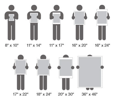
Print Sizes
Reviews
Zone Map of North America bird migration from 1910. Map created by the US Department of Agriculture from the Forth Provisional Map of the Biological Survey, by C. Hart Merriam, Vernon Bailey, E.W. Nelson, and E.A. Preble.
All prints are made with the finest quality Digital Giclée printing using 12 color archival inks. We have chosen a 300gsm Rag Matt finish paper with no "Optical Brightners" to extend the life of your print.
Great care has been taken to reproduce this image for you. We stand behind the quality of your print with a 100% customer satisfaction guarantee.
Great care has been taken to reproduce this image for you. We stand behind the quality of your print with a 100% customer satisfaction guarantee.
You Also May Like
From This Collection


Sale Promo

